
|
 |
Alexander "Sasha" Volokh
My tour of the Middle Ages, part II
Dorchester, England, March 29, 2000
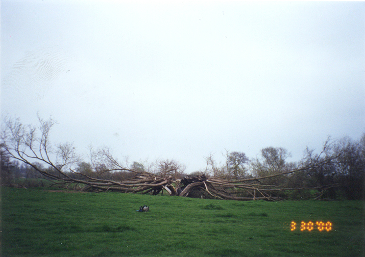
Above: A dead tree in the field on the way to Dyke Hills
"Dorchester has had a colourful past: a noted mediaeval town; the seat of a Bishop whose see
stretched beyond Lincoln in pre-Norman times; sited at the junction of important Roman roads, with
the associated town to the west of the present village; and near Dyke Hills, a late Iron Age
promontory fort currently of 114 acres.
Dyke Hills comprises low-lying ground overlooked by nearby hills, on which a conventional hillfort
stands, Sinodun Camp, and is more of an enclosed oppidum than a hillfort.
The promontory is formed by cross-dykes to the north cutting off an area bounded by the River Thame
to the east and the River Thames to the south and west.
About sixty acres within this area were densely occupied during the Iron Age, and it is quite likely
that the courses of the two rivers have altered, increasing the enclosed area.
"Most of the interior is currently given over to grazing, but the path from the village passes the
east end of the cross-dykes, probably at the site of the original entrance.
Your route takes you to the junction of the two rivers, where you turn right and follow the River
Thames round to Day's Lock.
The flat land of the interior is ideal for farming, and centuries of such use have obliterated all
surface signs of the numerous huts, tracks and pits visible on aerial photographs, which signify that
Dyke Hills had a relatively large population."
Geoffrey Williams, The Iron Age Hillforts of England: A Visitor's Guide (1993), pp. 186-87
(further quotes here are from the same source)
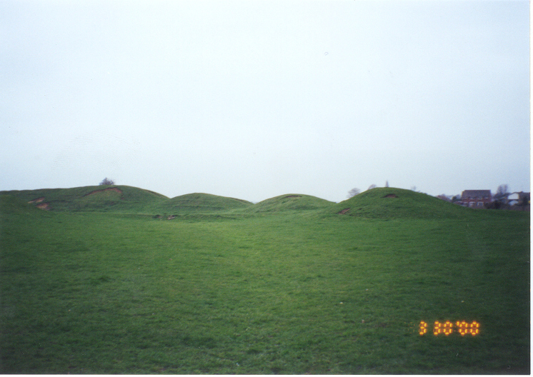
Above: The Dyke Hills hillfort
"A proper excavation has not been undertaken, so details of Dyke Hills past cannot be verified.
It may have had a long period of use prior to its expansion in the late Iron Age.
The large double ramparts, with central and unseen outside ditches, suggest a building date of first
or second centuries B.C., while other enclosed oppida date from the first century B.C.
It is quite probable that Dyke Hills commanded a junction of long distance tracks, while its position
at the confluence of the two rivers would also have been important.
"The ramparts are at their best in the centre, where they still rise to over ten feet in height, and
which you come to on your way round from Day's Lock.
All of the gaps are relatively modern, the ramparts being damaged last century.
From the top of the ramparts, a good idea of the size of the enclosed oppidum can be gained, while
these probably curved round at the east to reach the River Thame, but stop short now."
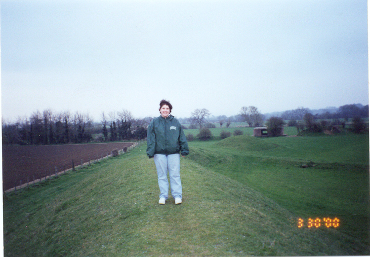
Above: A wind-swept Jessica, modern-day Boudicca, guards against the Romans.
"The demise of Dyke Hills probably came about with the arrival of the Romans, and the building of the
nearby small Roman town.
Whatever happened to the inhabitants is not known, but it was unlikely they were re-settled in
Dorchester.
Although little about Dyke Hills' history is known, it must have been quite an important trading
settlement, with some form of manufacturing being undertaken, and probably served as a regional
centre of the Catuvellauni tribe.
"Dorchester is a pleasant village with an abbey church, grass covered remains of its Roman settlement
and, of course, Dyke Hills.
Footpaths follow the course of the River Thames both to the east and west of the hillfort, making for
some pleasant walks in this quiet corner of Oxfordshire.
The River Thames has been such a major part of our past that it seems odd that much of the history of
probably the largest Iron Age settlement on its banks still remains to be discovered.
Dyke Hills might have enjoyed an existence of little more than a century, but it provides further
evidence of the scale of society's organisation in the Iron Age.
"Directions. O/S 1:50,000 map 164 ref. 575938.
Leave Oxford on the A423 towards Wallingford.
The hillfort is south of the village of Dorchester, now bypassed.
Turn right onto the A415, and left through Dorchester.
Turn right to a sign-posted car park, just before crossing the bridge at the south of the village.
Walk south to the Catholic church, then turn right and turn left up Whittenham Lane.
A Public Footpath leads to the east of the large cross-dykes."
(Note: we think, based on our own driving experience, that the first "right" and "left" in these
directions should be reversed.)
Above: Look, lemurs live here!
Back to Wallingford
Advance to Oxford
Return to places page
Return to home page
|